

News Summary
Gamuda Engineering Sdn Bhd is undergoing a major digital transformation through the implementation of a cloud-based geographic information system (GIS). This initiative aims to improve project delivery and operational efficiency by enabling seamless collaboration, real-time data management, and enhanced visualization across various engineering and construction projects. With a focus on breaking down data silos and integrating diverse data sources, Gamuda’s new GIS solution is set to redefine project management practices in Malaysia’s construction sector.
Gamuda Engineering Launches Major Cloud-Based GIS Solutions
Gamuda Engineering Sdn Bhd, a key player in the construction and engineering sectors in Malaysia, has embarked on a comprehensive digital transformation initiative aimed at improving project delivery and operational efficiency. This initiative includes the adoption of an enterprise-wide geographic information system (GIS), which is set to revolutionize how the company manages data and collaborates on projects.
Enhanced Collaboration in Infrastructure Projects
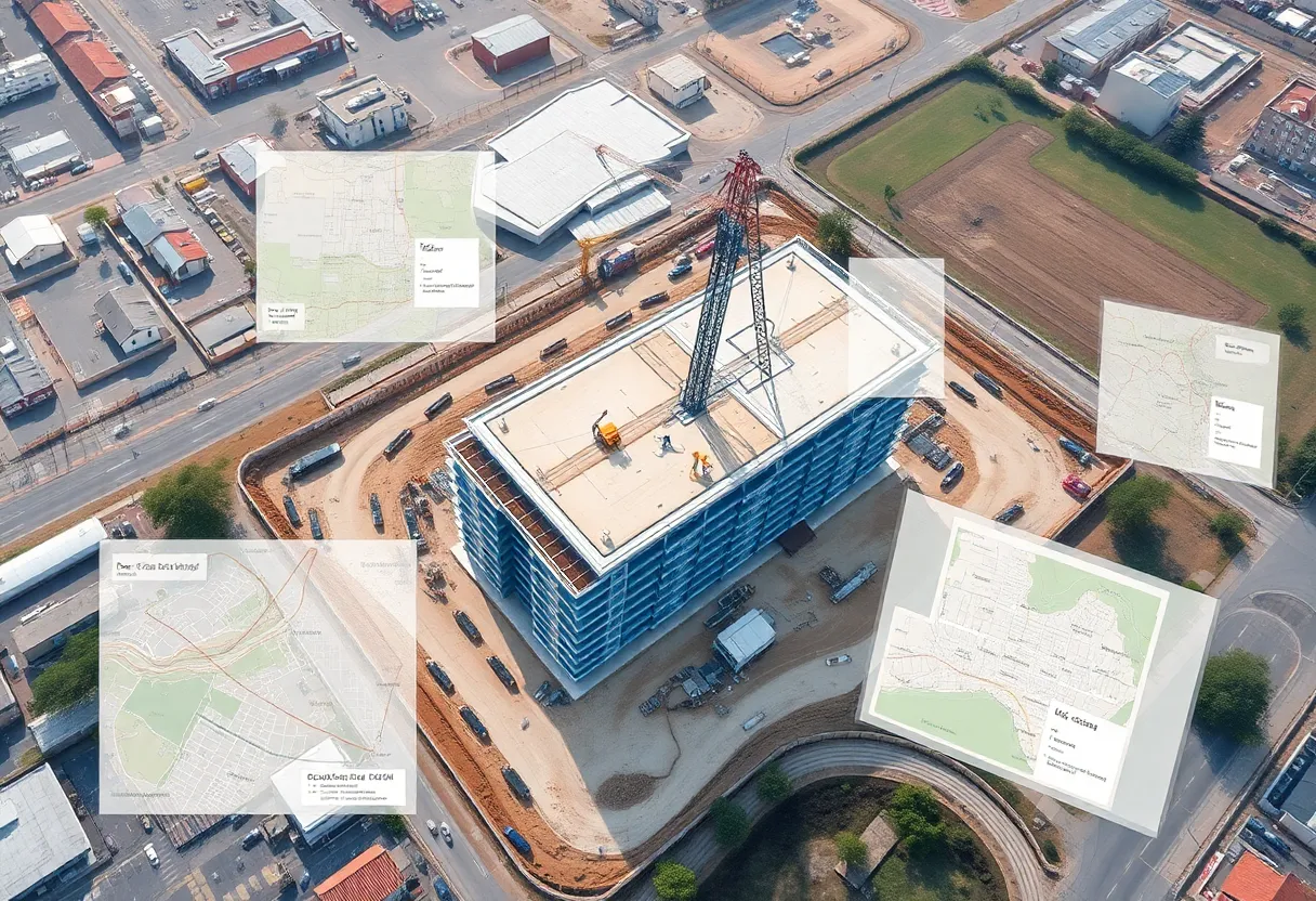
As infrastructure projects grow in complexity, the need for real-time collaboration and streamlined site planning becomes increasingly critical. By implementing GIS solutions, Gamuda aims to tackle the challenges presented by diverse data sources and formats, enhancing communication among teams and stakeholders. This move effectively addresses the intricacies of modern civil engineering and construction tasks that demand timely data management and progress tracking throughout a project’s life cycle.
A Global Advancement in Data Management
The deployment of GIS spans multiple regions globally, marking a significant leap forward in the management of engineering and construction data. Infrastructure projects typically rely on the integration of various data types from multiple stakeholders, including geotechnical surveys, utility mappings, and site plans. The GIS implementation at Gamuda facilitates the consolidation of these complex datasets, ultimately improving the tendering process and expediting project delivery.
Breaking Down Data Silos
At the heart of this transformation is the use of ArcGIS Enterprise, which has effectively dismantled existing data silos and created a centralized, real-time overview of projects. This platform enables enhanced visualization of project datasets and accelerates decision-making processes, a necessity for Gamuda’s geographically diverse teams operating on intricate projects.
Integration of GIS and BIM Data
Recognizing the shortcomings of traditional site planning and progress tracking methods, Gamuda’s GIS solution integrates GIS and building information modeling (BIM) data. This integration allows the organization to overcome technical challenges and supports more comprehensive decision-making processes, which are essential for the successful delivery of complex projects.
Cloud-Based Deployment for Optimized Operations
Gamuda’s technical deployment of ArcGIS Enterprise involves utilizing Microsoft Azure Cloud for effective spatial data management. While the deployment in Singapore supports Malaysian operations, a separate deployment for projects in Sydney ensures compliance with data sovereignty and maximizes performance reliability. This cloud-based platform facilitates scalability, reduces downtime, and enhances service reliability.
Advanced Visualization and Tools
The GIS solution offers advanced capabilities, including the integration of several data streams through custom web applications developed on ArcGIS Experience Builder. These applications provide both 2D and 3D visualization tools tailored to specific project needs and integrate government open data via REST APIs, enhancing the functionality of the system.
Leveraging High-Resolution Imagery
Gamuda utilizes high-resolution satellite imagery from providers such as Nearmap and Planet to improve data accuracy and detail. A critical technical milestone has been the integration of GIS with Autodesk Construction Cloud (ACC), which enables seamless synchronization of GIS and BIM data.
Transforming Field Operations with Mobile Applications
In addition to improving project delivery methodologies, Gamuda has implemented mobile GIS applications, including ArcGIS Field Maps, ArcGIS Survey123, and ArcGIS QuickCapture. These applications have transformed field operations by allowing for real-time data collection with spatial references, further enhancing the organization’s productivity.
Exploring ESG Initiatives
Gamuda is also looking to explore the use of GIS for environmental, social, and governance (ESG) initiatives. This includes managing environmental impacts and monitoring the progress of green building projects, thereby positioning the company as a leader in sustainability within the construction and engineering domain.
A Model for The Future
As a result of this digital transformation, Gamuda is establishing itself as a technology leader in the architecture, engineering, and construction (AEC) sector. The successful application of GIS solutions not only enhances their operational capacity but also provides a framework for other organizations aiming to leverage spatial technology in managing complex infrastructure projects.
Deeper Dive: News & Info About This Topic
Additional Resources
- Gamuda Board of Directors
- Gamuda Sustainability & ESG
- The Edge Malaysia Article
- Forbes Article on Gamuda
- Google Search: Gamuda Engineering

