

News Summary
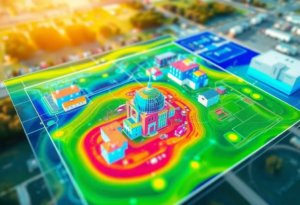
DJI has upgraded its Terra 3D modeling software to include advanced 3D Gaussian Splatting technology, enhancing aerial surveying and modeling accuracy. The software is optimized for DJI drones, making aerial data capture, processing, and modeling more efficient across industries such as construction, agriculture, and public safety. With processing speeds of up to 500 photos per hour, users can create detailed models rapidly, streamlining project timelines. This version supports diverse imaging techniques and offers a user-friendly interface, simplifying complex operations for professionals while ensuring high-quality outputs.
DJI Unveils Terrific Upgrade to 3D Modeling Software with Enhanced Efficiency
DJI has introduced significant advancements to its Terra 3D modeling software, launching version 5.0, which integrates a groundbreaking technology known as 3D Gaussian Splatting. This new feature is set to revolutionize aerial surveying and mapping, allowing users to create realistic 2D and 3D models with unparalleled efficiency.
Advanced Technology for Accurate Modeling
DJI Terra is tailored for the task of building precise models from images captured by drones, specifically optimized for use with DJI drones. The software allows users to gather essential data, process it, and apply it in various contexts, making it a comprehensive solution for aerial surveying.
The remarkable 3D Gaussian Splatting technique facilitates the generation of high-speed, realistic 3D models from photographs. This is a major leap forward compared to traditional methods such as visible-light oblique photogrammetry. Users can expect significant improvements in displaying fine structures, transparent surfaces, and vegetation, while achieving distortion-free orthomosaics that enhance overall quality.
Boosted Efficiency in Data Processing
With the updated software, DJI Terra can process around 500 photos per hour, allowing for the swift completion of modeling tasks. Typical jobs can now be finished in just 30 to 40 minutes for a single block. Furthermore, for larger projects that involve over 10,000 photos, the speed of reconstruction has been doubling compared to the previous Terra Mesh tool. This dramatic increase in productivity means that users can now obtain high-quality 3D data much faster, significantly reducing project timelines.
Broad Applications Across Industries
Various industries stand to benefit from DJI Terra, including construction, public safety, agriculture, infrastructure inspection, and the preservation of cultural heritage. The software can handle both visible light imagery and data from DJI’s impressive LiDAR systems, simplifying drone operations and reducing errors associated with using different tools from various providers.
Capacity and Hardware Requirements
DJI Terra boasts a remarkable capacity for handling city-wide 3D modeling projects with minimal computing resources needed. The software can effectively manage 300-400 images per gigabyte of RAM, processing up to 30,000 images in a single run. This accessibility on modest hardware setups means users only need basic requirements to make full use of the Gaussian Splatting workflows.
New Features and Improved User Interface
Version 5.0 of DJI Terra also introduces enhanced features like advanced LiDAR reconstruction and support for multispectral data, making actionable insights possible across various applications. Additionally, the software interface has been redesigned to enhance user experience, incorporating reconstruction parameter templates for ease of use.
Licensing and Accessibility
DJI has made the upgrade accessible to existing users of Terra version 4.x, providing it for free with automatic license migration to the new version. The software now offers two different license types: Standard and Flagship. The Flagship version includes the added features of visible light 3D Gaussian Splatting reconstruction.
Future of Spatial Data Reconstruction
By introducing these advanced capabilities, DJI emphasizes its commitment to maintaining its leadership in fast and accurate spatial data reconstruction. The latest advancements in DJI Terra not only enhance productivity but also position the software as a pivotal tool for industries requiring precision and speed in aerial surveying and mapping.
Deeper Dive: News & Info About This Topic
Additional Resources
- DroneLife: DJI Terra 3D Modeling Software
- Wikipedia: 3D Modeling
- UAS Weekly: DJI Terra v5.0 Boosts 3D Modeling
- Google Search: DJI Terra Gaussian Splatting
- Geo Week News: DJI Terra LiDAR and Photogrammetry Updates
- Encyclopedia Britannica: Drone
- DroneDJ: DJI Product Launch July 17
- Google News: DJI Terra
- Heliguy: DJI Terra Update Gaussian Splatting

